
Where Is Nepal? Location, Neighbors & Map

Activities Highlights
Key takeaways
- Nepal is a landlocked South Asian country wedged between China's Tibet Autonomous Region to the north and India along its south, east, and west borders.
- It covers roughly 147,000 square kilometers and holds 8 of the world's 14 peaks above 8,000 meters, including Everest at 8,848.86 meters.
- Kathmandu's Tribhuvan International Airport is the main gateway, carrying the great majority of Nepal's international air traffic.
- Nepal runs on an unusual time zone of UTC+5:45, one of only a few 45-minute offsets in the world.
Nepal is a landlocked country in South Asia, pressed between two of the largest nations on Earth: China to the north and India to the south, east, and west. If you are reading this because you are planning a trek, a pilgrimage, or simply trying to picture where Nepal sits, the short answer is the central Himalaya, roughly between 26 and 30 degrees north latitude.
That position explains almost everything about the country. The guide below answers where Nepal is, who its neighbors are, how its geography is arranged, and why that geography turned a small nation into the busiest trekking destination on the planet. Here is what the map actually shows.
Where Does Nepal Sit Between India and China?
Nepal lies along the southern slope of the central Himalaya, sandwiched between China's Tibet Autonomous Region to the north and India on the other three sides. It covers roughly 147,000 square kilometers, which makes it about the size of the US state of Arkansas, or a little smaller than England and Wales combined.
The capital, Kathmandu, sits near the center of the country at approximately 27.7 degrees north and 85.3 degrees east, in a bowl-shaped valley about 1,400 meters above sea level. From there, India is only a few hours' drive south, and the Tibetan plateau begins just beyond the high peaks to the north.
Think of Nepal as a long rectangle, roughly 800 kilometers from east to west and about 150 to 250 kilometers from south to north. That narrow north-south band is where the land climbs from tropical plains to the roof of the world. Few countries pack so much altitude change into so little horizontal distance.
Nepal is firmly part of South Asia, grouped with India, Pakistan, Bangladesh, Sri Lanka, Bhutan, and the Maldives. It is a founding member of the regional body SAARC, and its capital hosts that organization's secretariat. Culturally and politically, it stands on its own, an independent kingdom turned republic that was never colonized.
Which Countries Border Nepal, and What Is the Himalayan Barrier?
Nepal has exactly two neighbors. China borders it to the north along the Himalayan crest, while India wraps around the south, east, and west with a much longer, open border. There is no third neighbor and no coastline anywhere.
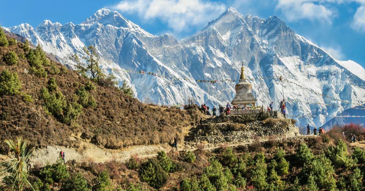
The northern border runs along the crest of the Himalaya, the highest mountain system on Earth. This wall of rock and ice has shaped Nepal's history as much as its weather. For centuries it made invasion from the north nearly impossible and funneled trade, migration, and religion through a handful of high passes.
The southern border could not be more different. The India-Nepal boundary crosses the flat Terai plains and stays open, meaning citizens of both countries can cross without a visa. Road crossings at Sunauli, Birgunj, and Kakarbhitta carry constant traffic of buses, trucks, and pilgrims. This openness is unusual and reflects deep family, trade, and cultural ties between the two populations.
The Himalayan barrier also sorts Nepal into three horizontal strips. The Terai lowlands sit in the south at under 300 meters. The hill region, home to Kathmandu and Pokhara, occupies the middle. The high mountain region runs along the north. You climb through all three as you travel from the Indian border toward the Tibetan one.
That barrier is why Nepal and Tibet feel so connected yet so separated. Tibetan Buddhism, trade caravans, and entire communities crossed those passes over centuries, which is why the northern valleys feel culturally Tibetan to this day.
What Are Nepal's Major Cities and Travel Gateways?
Kathmandu is Nepal's capital, largest city, and primary entry point, home to Tribhuvan International Airport, which carries the great majority of the country's international air traffic. Almost every overseas visitor passes through it at least once.
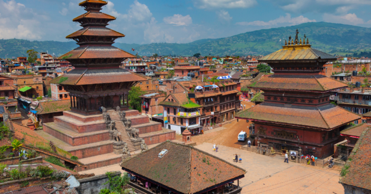
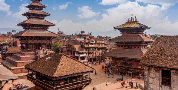
The Kathmandu Valley gathers three old royal capitals: Kathmandu, Patan, and Bhaktapur. Together they hold seven UNESCO World Heritage sites, from the Durbar Squares to the great stupas of Boudhanath and Swayambhunath. Most trekking and tour itineraries begin and end here, which gives travelers time to acclimatize and sort out permits.
Pokhara is the second major hub, a lakeside city about 200 kilometers west of Kathmandu, sitting in the shadow of the Annapurna range. It is the launch point for the Annapurna region treks and a center for paragliding, boating, and rest days. Its own international airport mainly handles domestic flights for now.
A handful of other cities matter for travelers:
- Bhairahawa (Siddharthanagar), gateway to Lumbini, the birthplace of the Buddha, and home to Gautam Buddha International Airport.
- Chitwan, the lowland hub for jungle safaris in Chitwan National Park, famous for rhinos and tigers.
- Lukla, a tiny mountain airstrip that is the true starting point for most Everest treks.
If Kathmandu is your first stop, the valley's temples, markets, and heritage sites are worth your first few days while your body adjusts to the altitude.
What Is Nepal's Time Zone and How Do You Enter the Country?
Nepal runs on Nepal Time, UTC+5:45, one of only a few places in the world using a 45-minute offset. That odd quarter-hour sits Nepal 15 minutes ahead of India and gives the country its own distinct clock, a small point of national pride.
The offset has a reason behind it. Nepal Time is set to the meridian passing near Gaurishankar, a sacred Himalayan peak, which produces the unusual 45-minute figure. Travelers flying in from India should remember to nudge their watches forward by a quarter hour on arrival.
Most international visitors enter by air through Kathmandu, and a visa on arrival is available at Tribhuvan International Airport for citizens of most countries. You fill out a form, pay a fee in US dollars or another major currency, and receive a tourist visa valid for 15, 30, or 90 days. Bring passport photos and your passport with at least six months of validity.
Overland entry from India is the other common route. Travelers cross by road at points like Sunauli, Kakarbhitta, and Birgunj, often on the way from Varanasi, Darjeeling, or the Indian plains. The border with Tibet, through the Kerung (Gyirong) crossing, is tightly controlled and usually requires a group tour and separate Chinese permits.
A quick orientation before you fly:
- Check visa rules for your nationality, as a small number of countries are not eligible for visa on arrival.
- Carry US dollars in cash for the visa fee, since card machines at the border are unreliable.
- Confirm permit requirements for your specific trek, which vary by region and change from time to time.
Exact permit costs and entry rules shift year to year, so confirm the current figures with your operator before you book. Mission Nepal Holidays handles visa guidance and the full set of trekking permits as part of its guided itineraries, which removes most of the paperwork guesswork for first-time visitors.
Why Does Nepal's Location Make It a Trekking Hub?
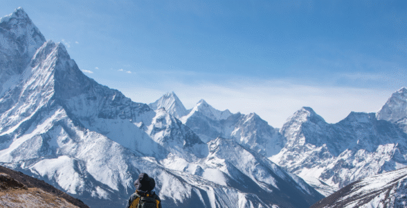
Nepal's position on the southern face of the Himalaya gives it 8 of the world's 14 peaks above 8,000 meters, including Mount Everest, the highest point on Earth. No other country comes close to that concentration of extreme altitude within reach of ordinary trekkers.
Those eight giants are Everest, Kangchenjunga, Lhotse, Makalu, Cho Oyu, Dhaulagiri, Manaslu, and Annapurna I. Everest alone was confirmed at 8,848.86 meters in the 2020 joint survey by Nepal and China (Kathmandu Post). Several of these peaks sit on or near the Tibetan border, which is exactly why the high valleys below them became the world's classic trekking routes.
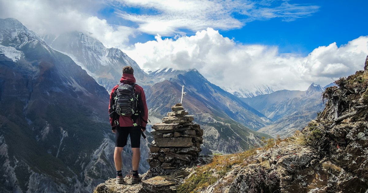
The reason the trekking is so good comes back to that compressed geography. Because the land climbs from under 100 meters to nearly 8,849 meters across a short north-south span, a single walk can pass through rice terraces, rhododendron forest, alpine meadow, and glacial moraine in a week or two. You experience four climate zones on foot, something no flat country can offer.
This elevation range is among the widest of any nation on Earth. Nepal's lowest point sits below 100 meters in the Terai, while its highest is the summit of Everest. That vertical sweep of well over eight kilometers is the single fact that defines Nepalese geography.
The infrastructure grew to match. Decades of trekking have produced a dense network of teahouses, marked trails, trained guides, and rescue services, so you do not need to be a mountaineer to walk here. Patience with altitude matters more than raw fitness. Our guide to Everest Base Camp in Nepal shows how that support system works on the most famous route of all.
How Does Geography Shape Where You Can Trek?
Nepal's three geographic belts each offer a different kind of trek, and where you go depends on the altitude and season you can handle. International arrivals have recovered to roughly their pre-pandemic level, with well over a million foreign visitors a year, and the mountains are the main reason they come.
The high mountain north holds the headline treks. The Everest region in the east, the Annapurna and Manaslu areas in the center, and Langtang closer to Kathmandu all sit against the Tibetan border. These routes reach high passes and base camps, demand real acclimatization, and reward you with the eight-thousander views most people picture when they think of Nepal.
The middle hills offer gentler walking at lower altitude. The Ghorepani Poon Hill circuit, for example, delivers sunrise panoramas of Annapurna and Dhaulagiri without crossing any dangerous pass, which makes it a favorite for families and first-timers. The hills are green, terraced, and dotted with Gurung and Magar villages.
The Terai lowlands are wildlife country rather than trekking country. Here you trade walking poles for jeep safaris and canoe trips in search of one-horned rhinos and the occasional tiger. Many itineraries pair a few days in Chitwan with a mountain trek for contrast.
Geography also dictates timing. Spring and autumn bring the clearest skies, while the summer monsoon soaks the hills and the winter closes the highest passes. For a season-by-season breakdown of when each region is at its best, see our guide to the best time to trek in Nepal.
How Does Nepal's Location Connect to Tibet and Bhutan?
Nepal sits at the heart of the Himalayan travel circuit, sharing its northern border with Tibet and lying just west of Bhutan, which makes multi-country journeys natural to arrange. Many travelers combine a Nepal trek with a cultural tour of one or both neighbors in a single trip.
The Tibet connection runs through Kathmandu, which has long been the main launch point for overland journeys to Lhasa and to the sacred Mount Kailash. The route crosses the border at Kerung and climbs onto the Tibetan plateau, where the landscape opens into high desert and vast turquoise lakes. Pilgrims have walked this way for over a thousand years.
Bhutan does not share a border with Nepal, but the two are close cousins in the eastern Himalaya, separated only by the narrow Indian corridor of Sikkim and West Bengal. Flights connect Kathmandu and Bhutan's Paro airport directly, which is why guided Himalayan itineraries often bundle the two.
This central position is what lets a single operator move travelers across Nepal, Tibet, and Bhutan on one booking. Mission Nepal Holidays builds exactly these cross-border journeys, from Kathmandu-to-Lhasa overland tours to the Kailash pilgrimage, which begins on Nepal's doorstep and climbs onto the Tibetan plateau.
What Does Nepal's Landscape Look Like From Plains to Peaks?
Nepal's terrain rises in dramatic steps from subtropical jungle to permanent ice, all within a journey you can make in a day or two by road. This vertical drama is the country's defining feature and the reason its scenery feels almost unreal to first-time visitors.
Start in the south and you are in the Terai, a flat extension of the Gangetic plain. It is hot, humid, and fertile, planted with rice and home to Nepal's national parks. Villages here feel closer to northern India than to the mountains, and the summer heat can be fierce.
Climb north and the land folds into the hill region, a maze of ridges and river valleys between roughly 600 and 3,000 meters. This is Nepal's heartland, where most people live and where Kathmandu and Pokhara sit. Terraced fields climb the slopes, and the air cools noticeably as you gain height.
Push higher still and you reach the mountain region, where the great peaks and their glaciers begin. Above about 5,000 meters the vegetation thins to rock, ice, and sky. The settlements here are sparse, Buddhist in culture, and built from stone against the cold. This is where the famous base camps and high passes lie.
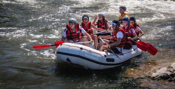
The rivers tie it all together. Snowmelt and monsoon rain feed powerful waterways like the Kali Gandaki, which carves one of the deepest gorges on Earth between the Annapurna and Dhaulagiri massifs. These same rivers now draw rafters and kayakers from around the world, another activity born directly from the terrain.
Start Planning Your Nepal Journey
Now that the map makes sense, the practical next step is to match a region to the time you have and the altitude you are comfortable with. A first-time visitor with ten days might pair a few days in the Kathmandu Valley with the gentle Ghorepani Poon Hill walk, while a returning trekker might aim for the high passes near Everest or the remote Manaslu Circuit.
Before you lock anything in, settle the three variables that your location choice depends on: your season, your fitness and acclimatization plan, and your permits. Get those right and the rest of the trip tends to fall into place. When you are ready to turn the map into an itinerary, Mission Nepal Holidays can help you choose a route and handle the permits, guides, and logistics that come with traveling in the Himalaya.
Frequently asked questions
Where is Nepal located on a map?
Nepal sits in South Asia along the central Himalaya, a landlocked rectangle between China's Tibet region to the north and India to the south, east, and west. Its capital, Kathmandu, lies at roughly 27.7 degrees north, 85.3 degrees east.
Which countries border Nepal?
Only two. China borders Nepal to the north along the Himalayan crest, and India wraps around the south, east, and west with a long, open border that citizens of both countries can cross freely.
Is Nepal part of India or China?
No. Nepal is an independent, sovereign country with its own government, currency, and language. It has never been colonized and is not a province of either neighbor, though it shares deep cultural ties with both.
What time zone is Nepal in?
Nepal uses Nepal Time, UTC+5:45. It is one of only a handful of places worldwide with a 45-minute offset, sitting 15 minutes ahead of Indian Standard Time.
How do you get to Nepal?
Most international travelers fly into Tribhuvan International Airport in Kathmandu. Overland entry from India is also common via road borders such as Sunauli, and a visa on arrival is available at the airport for most nationalities.